Don’t let last week’s cold snap fool you.
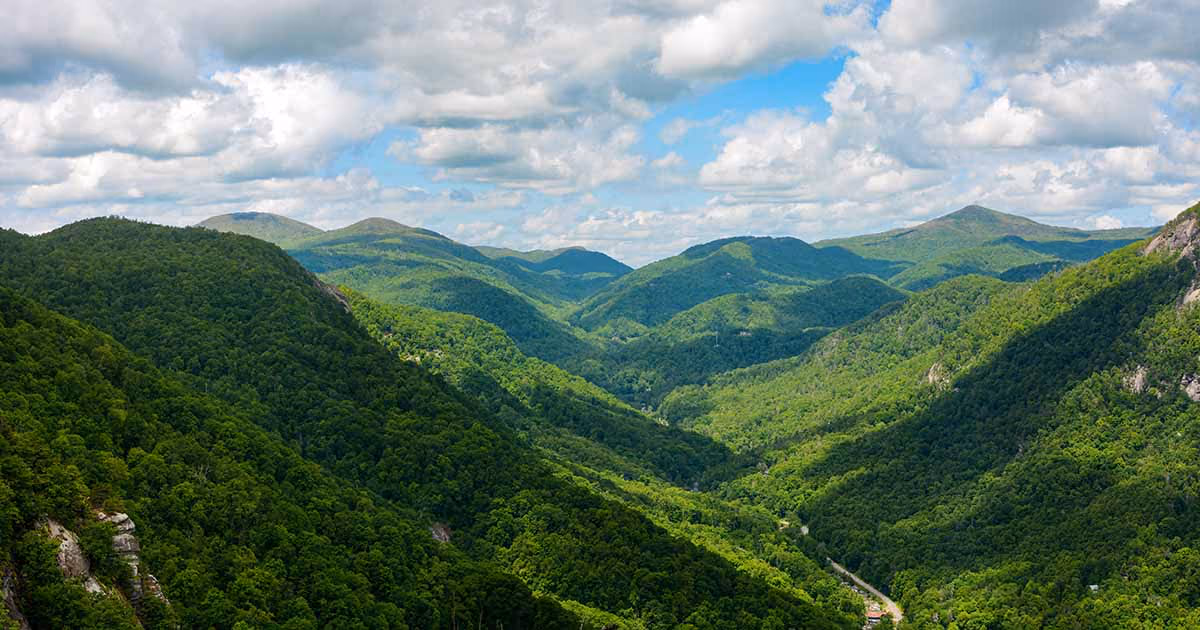
Winter in Southern Appalachia could be warmer than normal this year, according to federal forecasters.
NOAA’s Climate Prediction Center released its winter outlook for December through February, and the forecast suggests above-average temperatures are likely across much of the southern tier of the nation, including eastern Tennessee, western North Carolina and southwestern Virginia.
“The Southeast is favored to see warmer-than-normal temperatures this winter,” said Dr. Andrew Joyner, Tennessee’s official state climatologist and associate professor at East Tennessee State University. “However, it’s important to remember that ‘warmer than normal’ does not mean an absence of cold snaps or winter weather. It means the overall average for the season is expected to trend above our historical norms.”
What is driving the forecast?
The primary factor influencing this winter’s weather is the return of La Niña conditions, a climate pattern characterized by cooler-than-normal sea surface temperatures in the Pacific Ocean.
La Niña typically brings warmer and drier conditions to the southern United States during winter months.
How much rain and snow will there be in Southern Appalachia?
While warmer temperatures are forecast, the precipitation outlook for the region is less certain. NOAA’s forecast indicates that drier-than-average conditions are expected along the nation’s southern tier, particularly in the Southeast.
“If dry air masses to the south and east encroach into East Tennessee that could have implications for drought conditions,” Joyner said. “Particularly if we continue to see dry patterns persist in the winter months. Some areas in the Southeast are already experiencing drought stress, and a dry winter could exacerbate those conditions.”
The forecast suggests drought development is likely for parts of the southern Plains, areas in the Southeast, and the lower mid-Atlantic.
Could cold snaps still occur?
Absolutely. Warmer-than-normal seasonal forecasts don’t preclude cold outbreaks.
“While this winter is expected to be milder and less snowy than average, East Tennessee is not completely in the clear,” Joyner said. “The greatest window for impactful winter weather, especially freezing rain or ice, is expected from late January into February.”
How does a warmer winter impact Southern Appalachia?
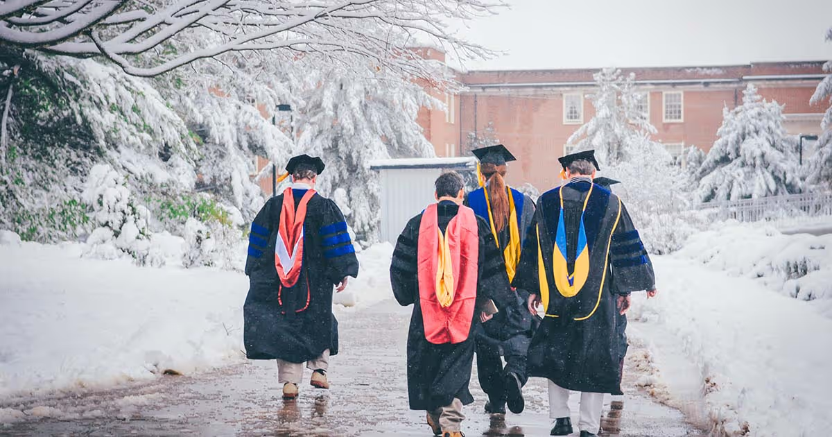
As the flagship university of Appalachia, ETSU is uniquely positioned to help the region understand and prepare for seasonal weather patterns that affect daily life, agriculture, tourism and the natural beauty that defines the mountains.
The warmer, drier outlook could have implications for:
• Winter tourism - Ski resorts and winter recreation areas may face challenging conditions
• Agriculture - Farmers should monitor drought conditions and plan accordingly
• Water resources - Drier conditions could affect reservoir levels and water availability
• Wildfire risk - Warmer, drier conditions can increase fire danger, particularly in late winter
“Understanding seasonal forecasts helps our communities prepare and adapt,” Joyner said. “Whether it’s planning for agricultural needs, managing water resources, or preparing for tourism impacts, having advanced knowledge of likely conditions allows for better decision-making.”
How can I prepare for winter?
• Winterize vehicles and ensure access to ice melt or sand
• Prepare for short-notice school and business delays
• Keep alternative heat sources and flashlights ready
• Stay informed using local and National Weather Service
.jpg)